


CURRENTS -


WEATHER 4D Analysis
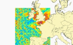
BSH

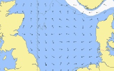
CURRENTS -
WEATHER 4D Analysis
BSH